Universitas Muhammadiyah Surakarta (UMS), through the Environmental Studies Center, in collaboration with the Faculty of Geography and the Geospatial Professional Certification Body (Lembaga Sertifikasi Profesi/LSP Geospatial), conducted a Geospatial Competency Certification program on 29 July 2024. This activity aimed to enhance the competency standards of professionals in the geospatial field, particularly in the use of Geographic Information Systems (GIS). The event was held at the Geography Laboratory of UMS, which provided a supportive environment and adequate facilities for the certification participants.
The certification conducted was GIS Certification, one of the most essential certifications in the geospatial sector. With the rapid advancement of technology and the increasing demand for accurate geographic data, this certification has become crucial for practitioners to ensure that their skills and knowledge meet current industry standards. Through this certification, participants were expected to demonstrate their expertise in managing and analyzing geographic data using GIS tools.
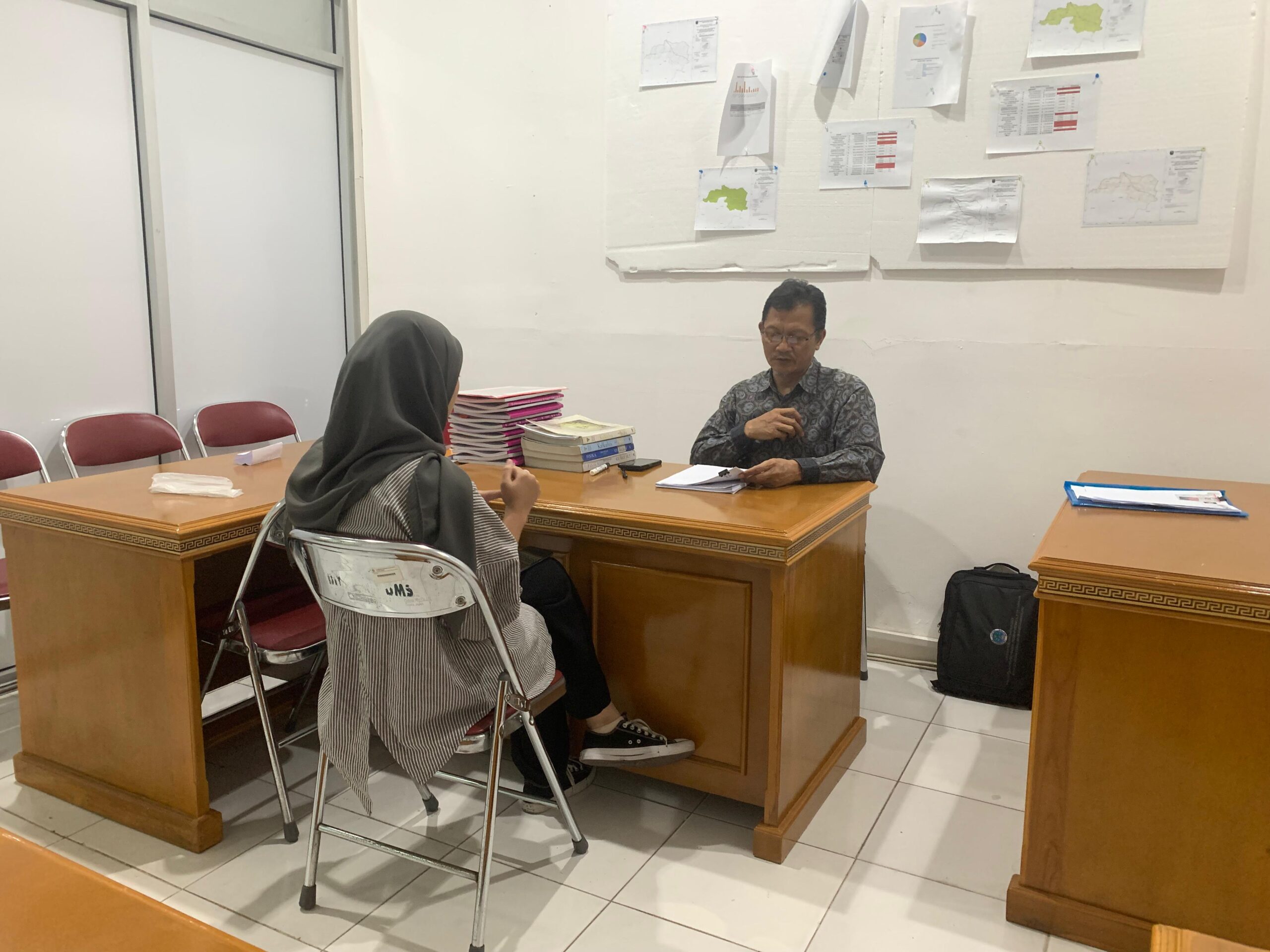
In the implementation of this activity, Mr. Agus Anggoro Sigit, S.Si., M.Sc., served as the principal assessor. Mr. Agus is a geospatial expert with extensive experience and strong qualifications, making him an ideal figure to evaluate and certify the participants. The involvement of an experienced assessor such as Mr. Agus was expected to ensure objective and constructive assessments, thereby enhancing the credibility of the certification results.
The Geography Laboratory of UMS, as the venue for the activity, offers advanced and integrated facilities that support the certification process. With state-of-the-art equipment and the assistance of competent academic staff, participants were able to undertake the assessment optimally and obtain results that accurately reflect their actual competencies. Furthermore, the laboratory also serves as a hub for academic and professional development in the fields of geography and geospatial studies.
This certification activity not only provided direct benefits to participants in the form of professional competency certificates, but also contributed to the overall development of the geospatial industry. By improving the competencies of GIS professionals, the program is expected to foster innovation and more effective solutions in various geospatial-based applications, ultimately supporting sustainable development and better resource management.