Study Center Research
AI-Driven Ensemble Learning for Spatio-Temporal Rainfall Prediction in the Bengawan Solo River Watershed, Indonesia
Writer: Jumadi, Danardono, Efri Roziaty; Agus Ulinuha, Supari, Lam Kuok Choy, Farha Sattar, Muhammad Nawaz Reliable spatio-temporal rainfall prediction is a key element in disaster mitigation and water resource management in dynamic tropical regions such as the Bengawan Solo River Watershed. However, high climate variability and data limitations often pose significant challenges to the accuracy of conventional prediction models. This study introduces an innovative approach by applying ensemble stacking, which combines machine learning models such as Random Forest (RF), Extreme Gradient Boosting (XGB), Support Vector Regression (SVR), Multi-Layer Perceptron (MLP), Light Gradient-Boosting Machine (LGBM) and deep learning models like Long Short-Term Memory … Read more
Correlation Analysis of Normalised Difference Built-Up Index (NDBI) and Land Surface Temperature (LST) from 2013 to 2023 Landsat 8 Imagery: A Case Study in Makassar City, Indonesia
Writer: Jumadi, Setiawan,I. N., Nawaz, M. and Sattar, F. Land use change dynamics exert a complex and varied impact on ecological factors. The expansion of metropolitan areas and developed land induces numerous environmental issues, notably a rise in Land Surface Temperature (LST). The correlation between built-up area and LST is crucial for comprehending the urban heat island phenomenon. This study conducts a spatiotemporal analysis of LST and normalised difference built-up index (NDBI) in Makassar City, Indonesia, selected for its fast urbanization. Ten years of Landsat 8 Operational Land Imager (OLI) data (2013-2023) were analysed on the Google Earth Engine (GEE) … Read more
Spatio-Temporal Modeling for the Analysis of Hydrological Drought and its Impact on Rice Production in the Upper Bengawan Solo Basin, Central Java, Indonesia
Santhyami, Jumadi, Kuswaji Dwi Priyono, Triastuti Rahayu, Dewi Novita Sari, Murnira Othman, Rudiyanto Hydrological drought is a climate-induced disaster that directly impacts the agricultural sector,particularly rice production. This study aims to model drought in a spatial-temporal context and analyseits impact on rice production in the Upper Bengawan Solo River Basin, Central Java, Indonesia, overthe period 2017–2024. The analysis was conducted using Geographic Information Systems (GIS) basedon Sentinel-2A satellite imagery, annual rainfall data, and rice production records. Drought severitywas quantified using the Normalised Difference Drought Index (NDDI). The results of the droughtmodelling were validated through correlation and regression analyses with rainfall … Read more
Study Center Info
The Center for Environmental Studies Receives Muhammadiyah Research Grants for Three Outstanding Proposals
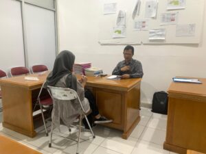
UMS PSL Holds First GIS Competency Certification
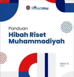
Two Members of the UMS Environmental Studies Center Received the 2024 Batch VIII ResearchMu Grant
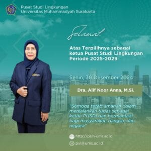
Dra. Alif Noor Anna, M.Sc., was elected as Chair of the Center for Environmental Studies for the 2025-2029 period.